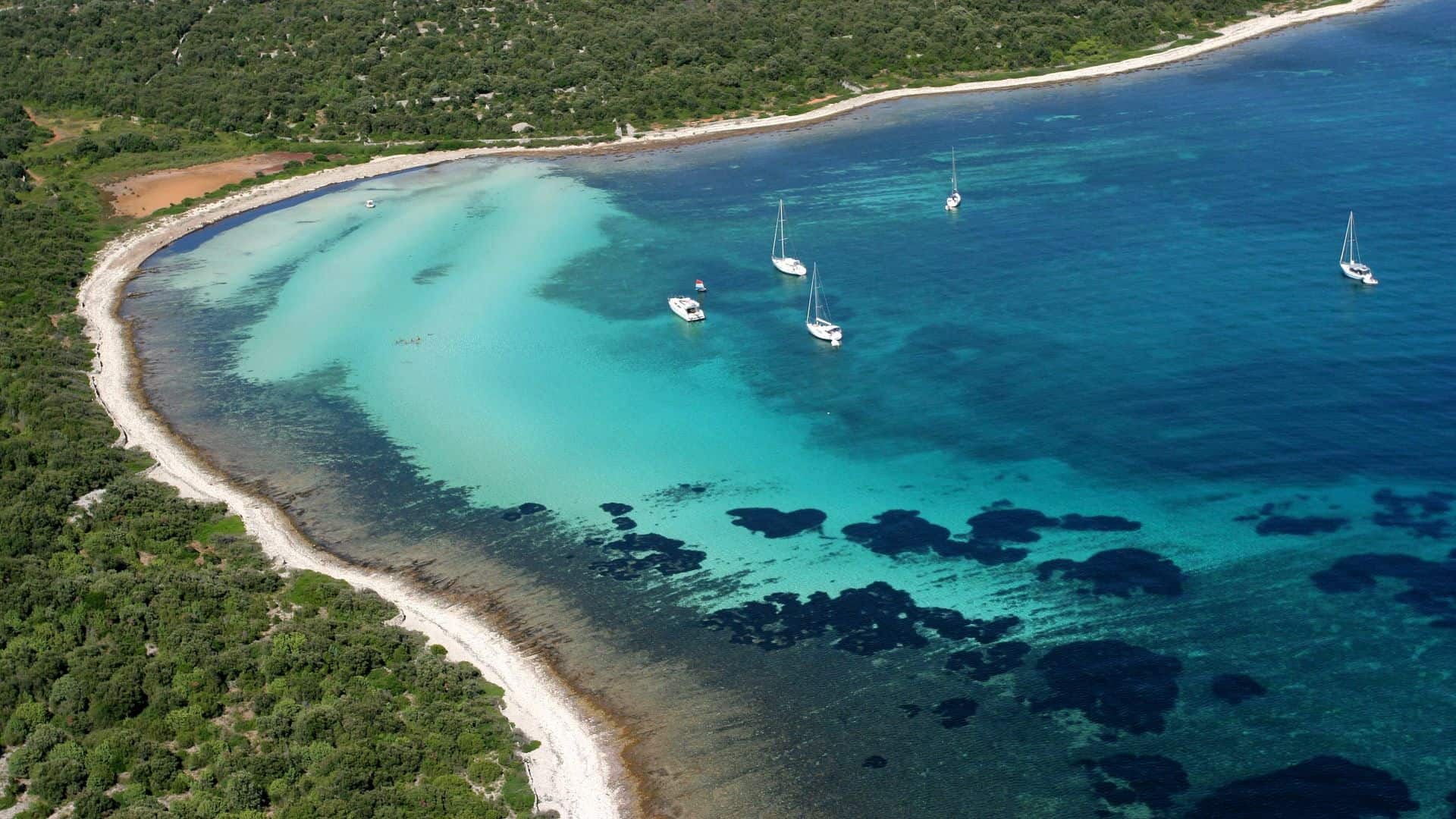
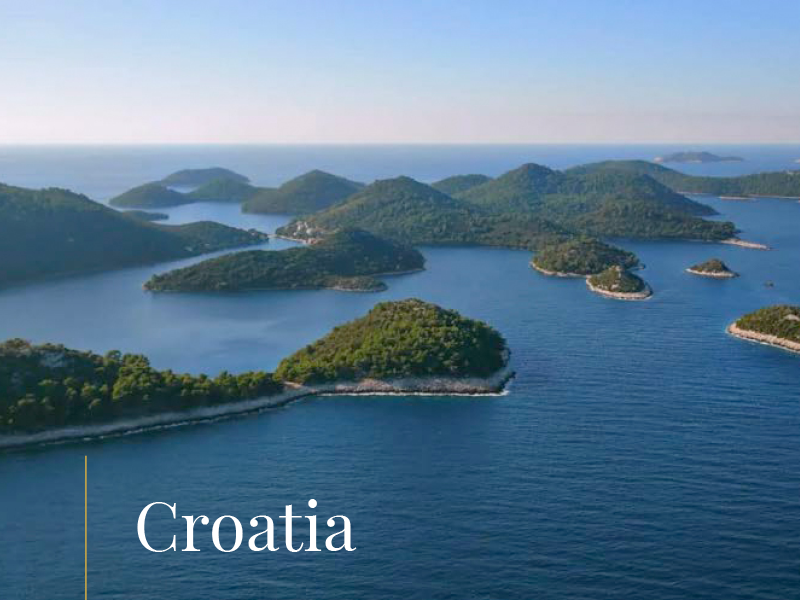
Thanks to its ideal location, Telašćica is one of the best protected bays in the Eastern Adriatic, a safe haven where winds from the shore and the sea loose all their power
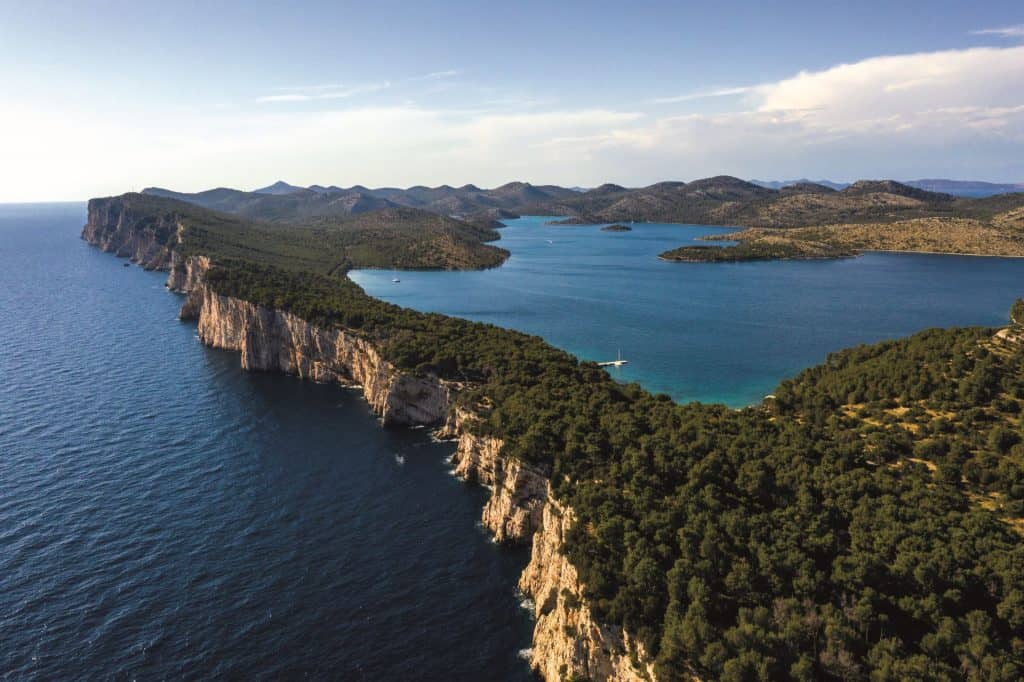
North of National park Kornati, practically where the Kornati archipelago passes into the cliffs of Dugi otok, you enter the Telašćica Nature Park. Here, where the open sea collides with rocks up to 200 meters high, is one of those places that make you feel your transience.
The Telašćica Nature Park simply takes away one’s ego and at least for a moment allows us to feel oneness with the environment, and perhaps to reconsider our role in this time and space.
Where is Telašćica Nature Park located?
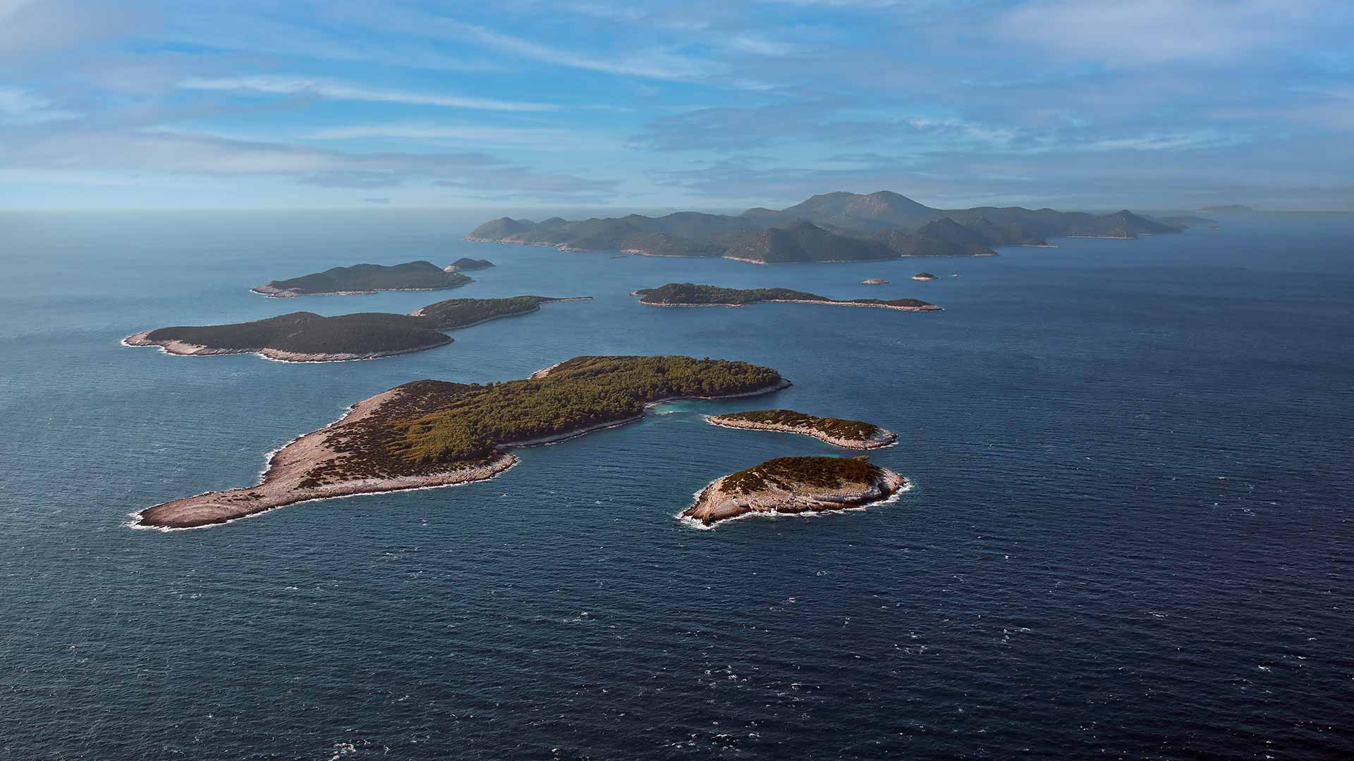
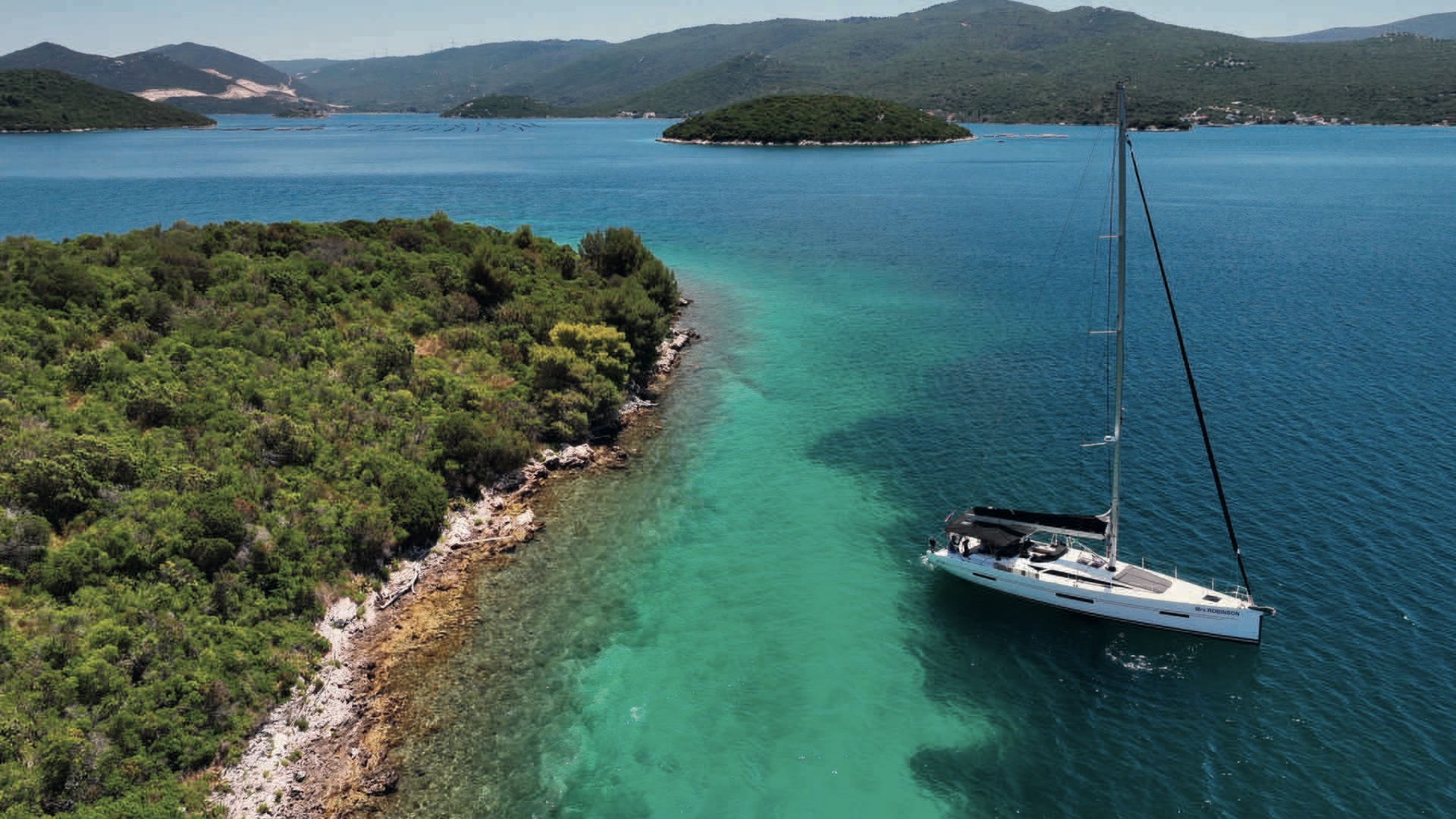
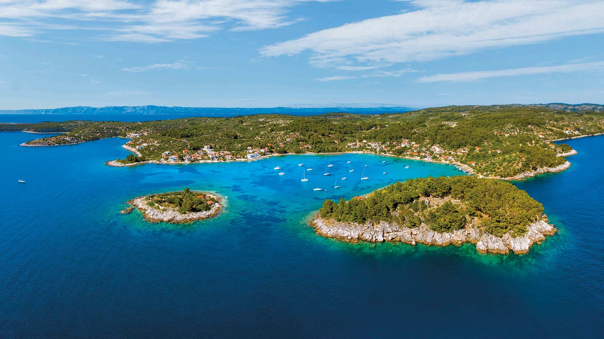
Telašćica Bay, after which the entire Nature Park got its name, lie on the south-eastern side of Dugi otok (43˚ 53′ N, 15° 12.9′ E), facing the neighboring Kornati archipelago. The bay is dotted with islands, small capes and coves, and the most popular is the Mir cove, whose salty lakes and cliffs are difficult to sail in, but a joy to explore.
Telašćica is one of the largest and best protected natural harbors of the Adriatic, and the bay itself is very indented, consisting of three parts that are separated from each other by narrowings. Those three parts are reminiscent of three lakes (lat. tre lagus), from where the name Telašćica probably originates.
The port of Telašćica is protected from storms and south winds, and in a series of bays and bays, depending on the winds, there is always a good shelter.
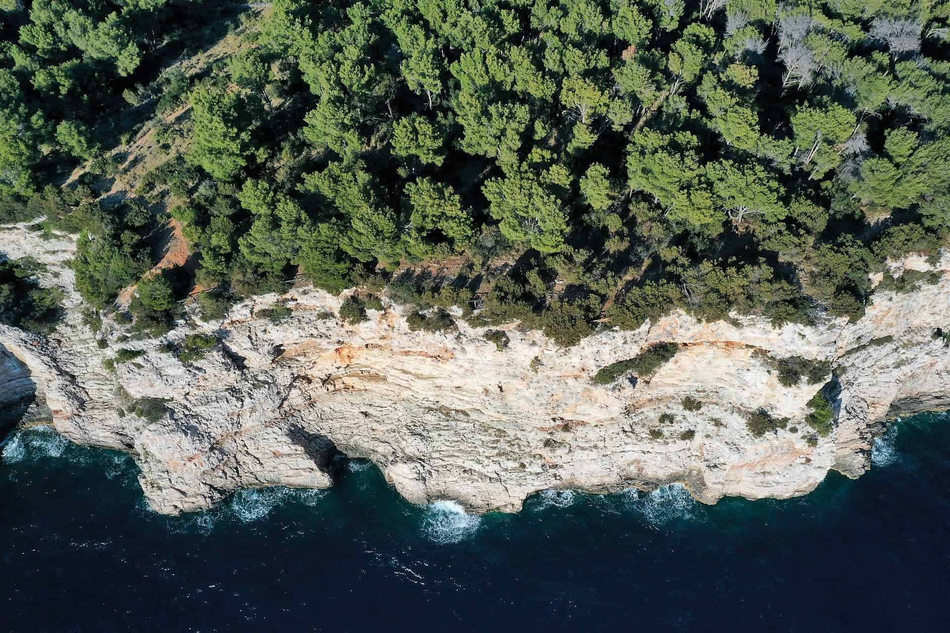
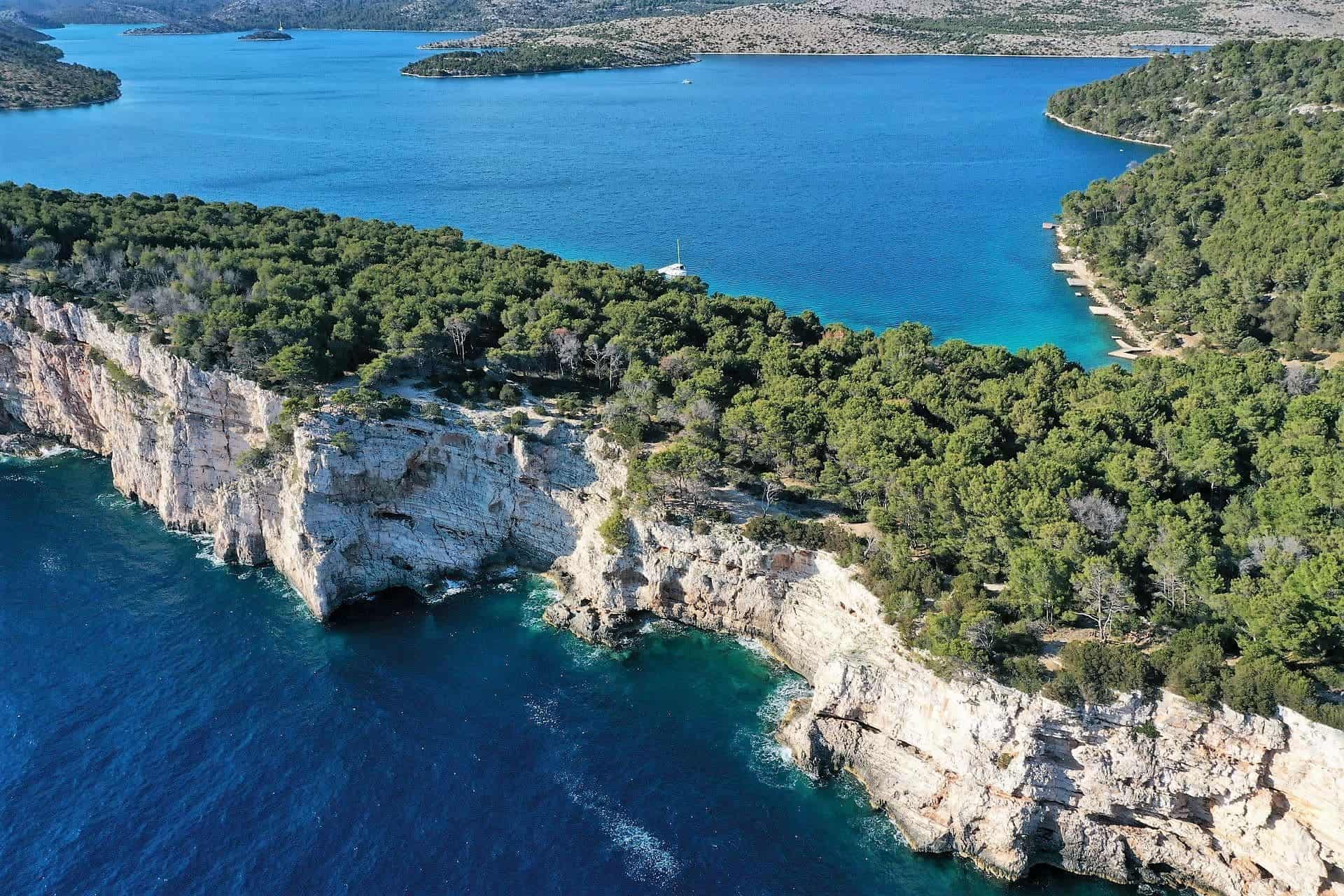
Three fundamental phenomena represent the basic characteristics of this area: the unique bay of Telašćica with 25 small beaches, the cliffs of the island of Dugi otok or the so-called ‘rocks’, which rise up to 161 meters above the sea and descend to a depth of up to 90 m, and finally a salt lake Peace with healing properties.
Telašćica bay is a natural gem on Dugi otok
The most picturesque among the islands is the island of Katina, and the most unusual is certainly Taljurić. The total area of the Nature Park is 70.50 km2, 25.95 km2 on Dugi otok and neighboring islets, and 44.55 km2 on the sea.
In the surroundings there are beautiful cultivated meadows, and on the hills rich Mediterranean vegetation with about 500 plant species and an equally rich fauna. The underwater world has over 300 plant and 300 animal species.
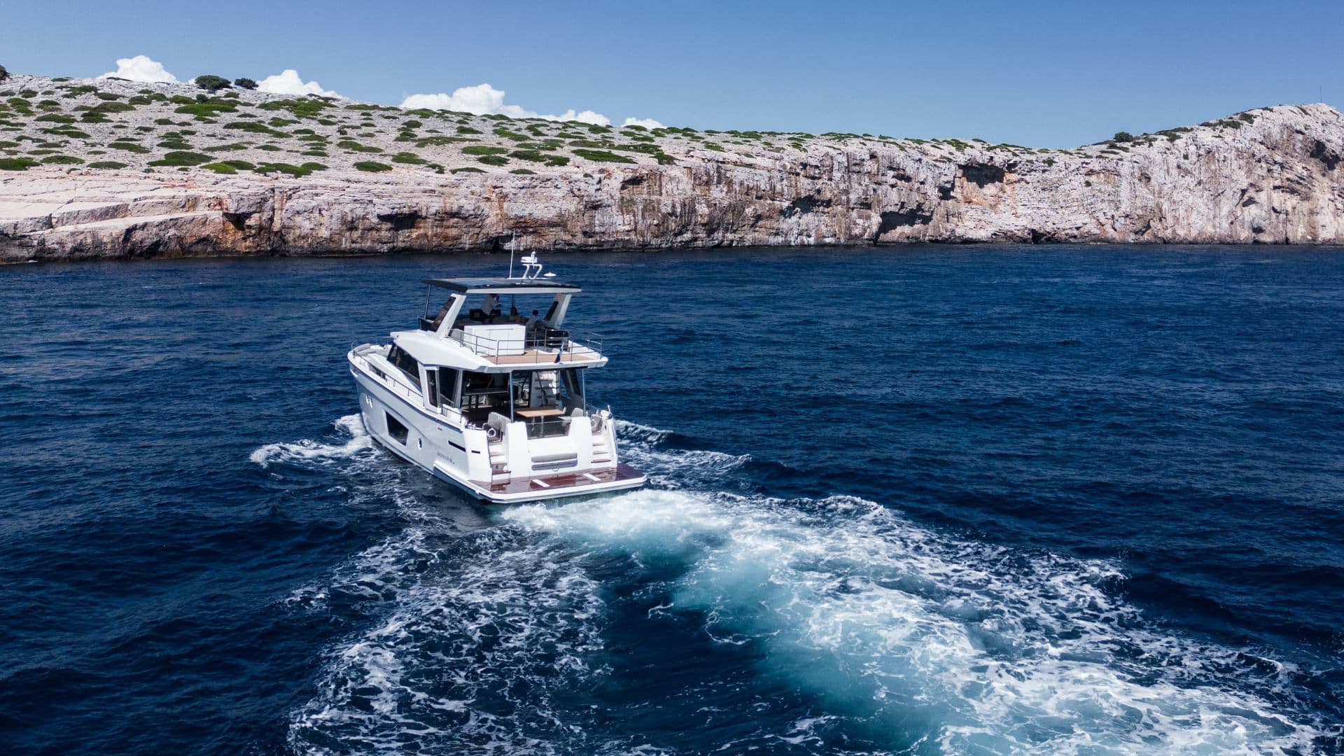
The best way to experience Telašćica is during the afternoon mistral, when a lot of boating (flying and ‘manly’ sailing) is required to reach Mir bay, the most popular spot for exploring its gems – a salt lake and steep cliffs.
Impressive cliffs of Telašćica
Tie the vessel to a buoy in Mir bay and start exploring the nearby phenomena. Take a walk along the well-maintained path (2.2 km) along the photogenic shores of the lake, where you can swim, and then visit the impressive cliffs of the Telašćica Nature Park, which will surely hypnotize you with their beauty.
You can also opt for a striking walk (30 minutes or more) along the cliffs, which will certainly ‘give birth’ to spectacular photos and justify the occasional drop of sweat.
Anchoring can be done in all suitable coves, while a large number of buoys are placed in the most popular Mir cove and Tripuljak, Kruševica and Kučinmul coves. Buoys are free of charge, but every visitor to the park is required to pay an entrance fee.
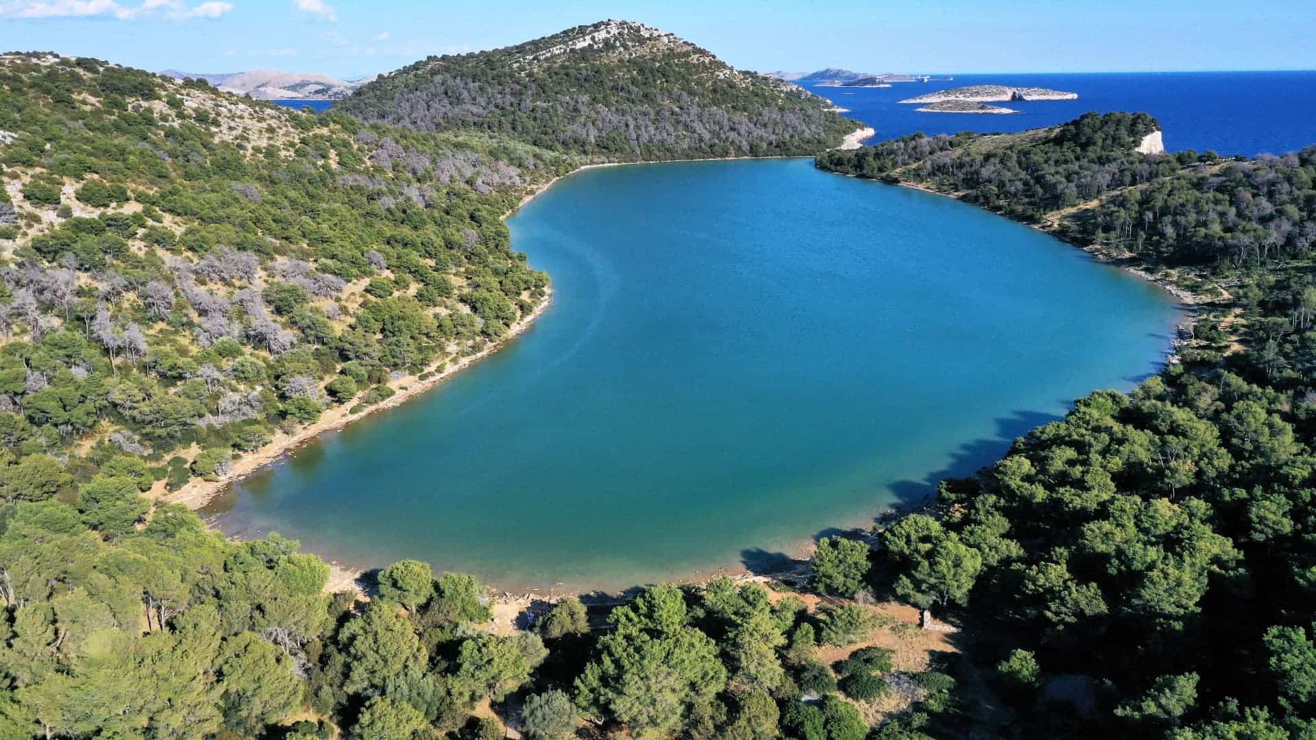
Salt Lake Mir
Along the eastern side of Telašćica, which is completely leeward of the storm, the most popular cove is Ćuška Duboka. At the bottom of the bay, the depth of the sea is only three meters, and there it is necessary to tie the stern ropes to the shore.
You will be best protected from the south in Mir bay, as well as in the third, most closed part of Telašćica. If infidelity is expected, the advice to inexperienced sailors is not to tie the stern lines to the shore.
The Mir salt lake is known for its healing mud and the endemic eel ‘caiman’, which grows up to 3 kg, but don’t worry, it’s harmless. On the outer side of Telašćica bay rise the cliffs, the famous Dugi Island ‘rocks’, which are more than 150 m high, and from them there is a spectacular view of the open sea.
In recent years, the bay has become a natural donkey preserve, so keep your eyes open if you want to make some long-eared friends.
Photos V. Jakupović, M. Jelavić & I. Pervan
